The Emerald Necklace is a greenway originally conceived by Frederick Law Olmsted. It runs nearly 10 miles from the State House to Franklin Park. This is a spectacular urban run, with many sections of different nature and sights. Just about the entire Necklace is a dedicated, off-road path. There are a couple of on-road ‘connector sections’. Typical of Boston, it is not very well signed.
The initial section, headed southwest, takes you by the famous Boston Common, Public Garden, and the Comm. Ave. Mall, in Back Bay, with gorgeous brownstones on either side. It is a couple of blocks inland from the Charles River. Then the Necklace becomes more of a green linear trail, through the Fens, and to Jamaica Pond, the Arnold Arboretum, and eventually Franklin Park.
There are many loop and there and back options. If running one way, there are some ways to take public transportation back to the start. See table below with key distances, segment highlights, and public transportation options. Also, the Emerald Necklace Conservancy publishes a wonderful park map. Stop by their Shattuck Visitor Center along the Fens for some info (and a restroom!).
Note the Arnold Arboretum is itself a fantastic place for running, with miles of gorgeous trails.
A beautiful and historic spot to visit near Franklin Park is Forest Hills Cemetery. Please note that as of May 2020, running is no longer permitted there. But it’s a great place for a walk!
Table of Emerald Necklace Distances and Highlights Emerald Necklace MapImage may be NSFW.
Clik here to view.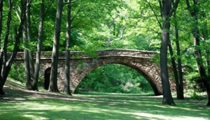
The post The Emerald Necklace: Boston Common, Public Garden, Comm. Ave., Fens, Jamaica Pond, Arnold Arboretum, Franklin Park appeared first on Great Runs.
